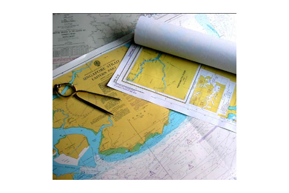
A nautical chart is a graphic representation of a maritime area and adjacent coastal regions.
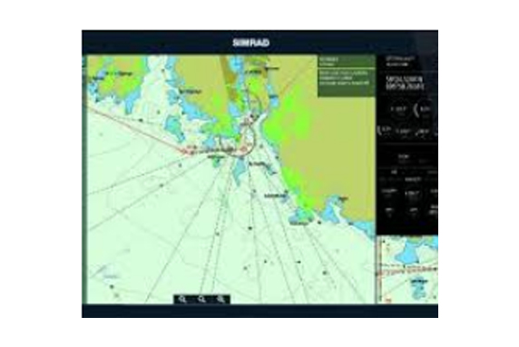
Nautical charts are essential tools for marine navigation. Depending on the scale of the chart, it may show depths of water and heights of land (topographic map), natural features of the seabed, details of the coastline, navigational hazards, locations of natural and human-made aids to navigation, information on tides and currents, local details of the Earth's magnetic field, and human-made structures such as harbors, buildings and bridges. Nautical charting may take the form of charts printed on paper or computerized electronic navigational charts. Charts and Publications is published every year with current and updated editions of charts
Zener Marine offers a complete portfolio of digital charts, publications, and services to meet the needs of fleet managers and professional mariners. In addition to the Digital charts we can provide paper chart & publications.